01△
Exploration & Geological Studies
Exploration planning, geological evaluation, geophysics, geochemistry, field verification and mineral targeting.
Exploration, survey, geology, remote sensing and mine planning for better mining decisions.
PT Hash Reksabumi Sinergi integrates geological investigation, terrestrial and aerial survey, exploration support, geospatial analysis and mine engineering into practical decision-ready workflows.
Our work connects field observations with mapping, modelling and engineering analysis to support mineral and coal projects from early investigation through technical planning.
Explore selected work ↗Structured around HASH's current service portfolio, with a clear pathway from exploration and mapping to engineering analysis and project support.
Exploration planning, geological evaluation, geophysics, geochemistry, field verification and mineral targeting.
Total station, GNSS, aerial mapping, concession boundary survey, orthophoto and terrain modelling.
Mining method selection, production capacity, scheduling, technical studies, economic and financial analysis.
Satellite and UAV data interpretation, terrain analysis, lineament and alteration screening, GIS and decision support.
Professional training, competency support and supply of selected survey, geological and mining equipment.
For early-stage exploration, HASH can connect remote sensing, geological field checks, sampling, laboratory QA/QC and target ranking into a structured decision chain.
Lineament, drainage, alteration proxy, access and land cover.
Lithology, structure, alteration, quartz vein, float and outcrop.
Stream/pan, rock-chip, float and selected channel or soil sampling.
Laboratory analysis supported by blanks, duplicates and reference material.
Integrated evidence for Go / Hold / Stop and the next budget gate.
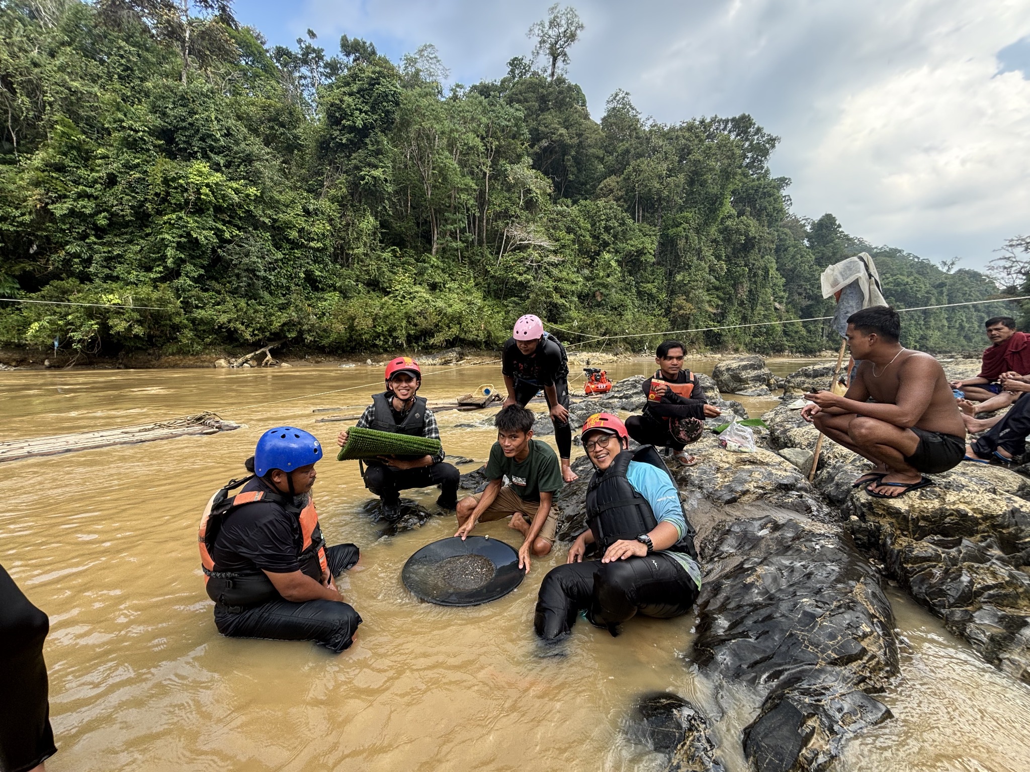
Field observations, stream reconnaissance and sampling support for early-stage gold exploration.
View image ↗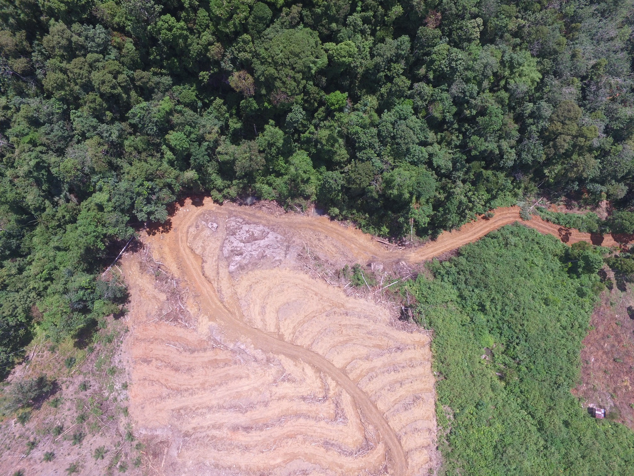
High-resolution UAV imagery for site context, access and land-surface interpretation.
View image ↗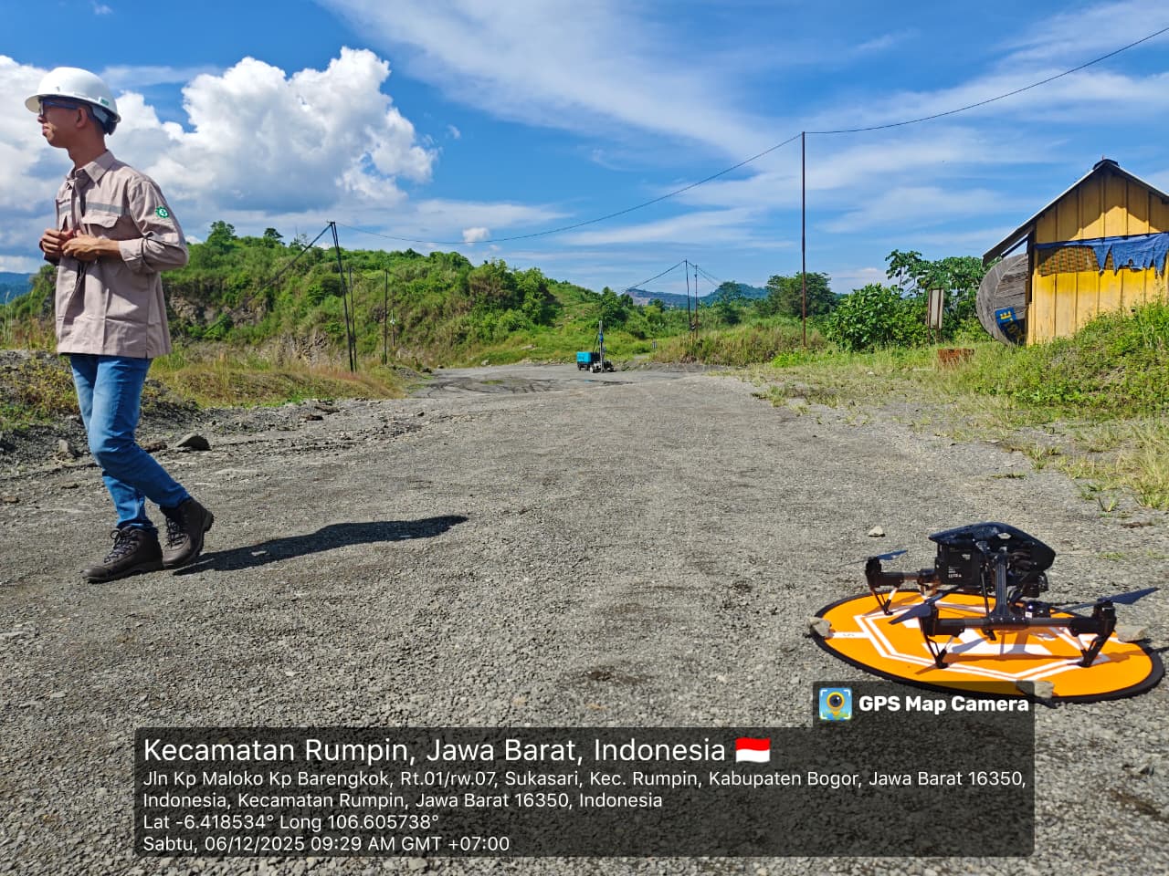
Field deployment and UAV acquisition for detailed survey and mapping applications.
View image ↗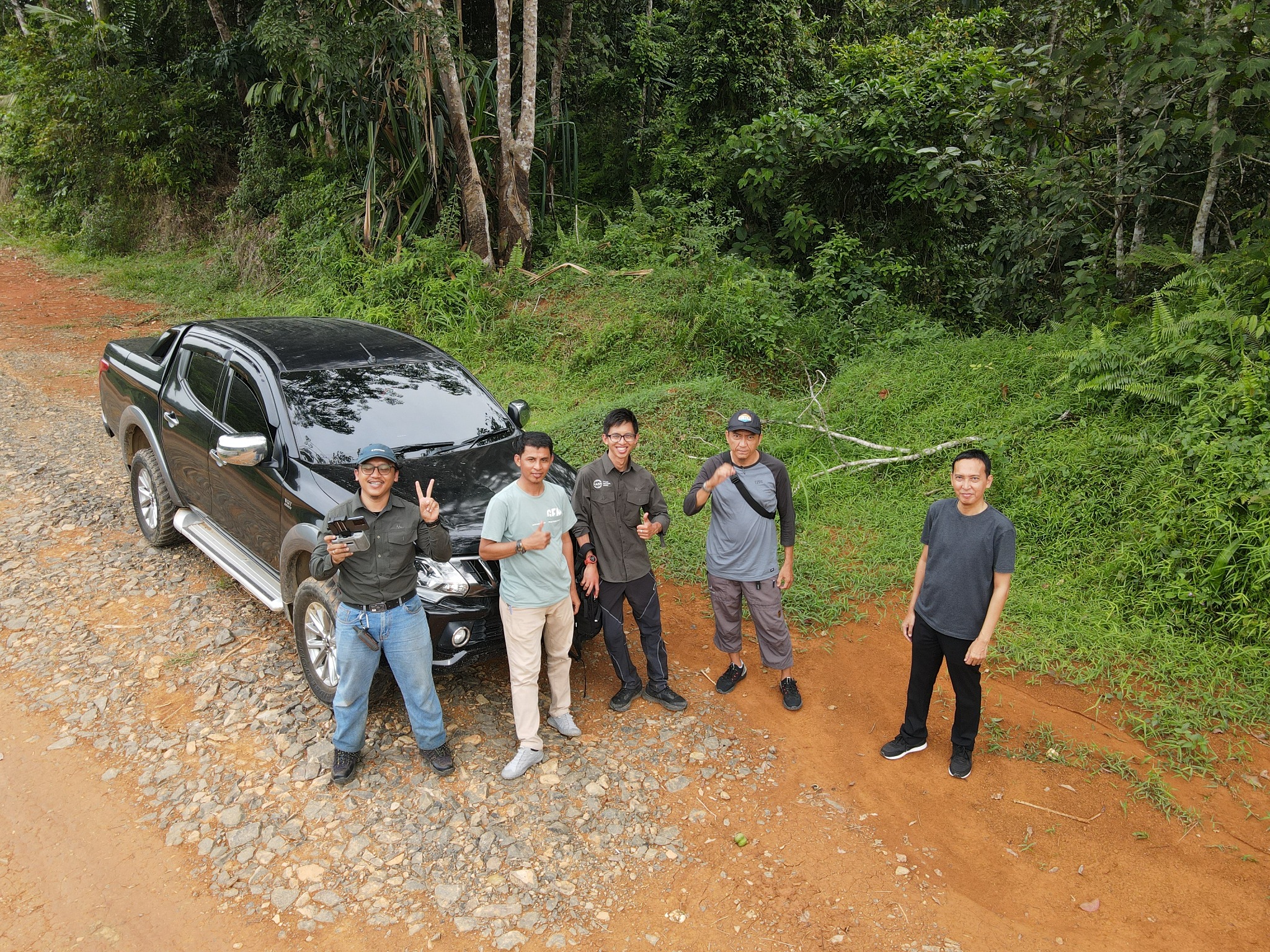
Multi-disciplinary field investigation supported by UAV and ground observations.
View image ↗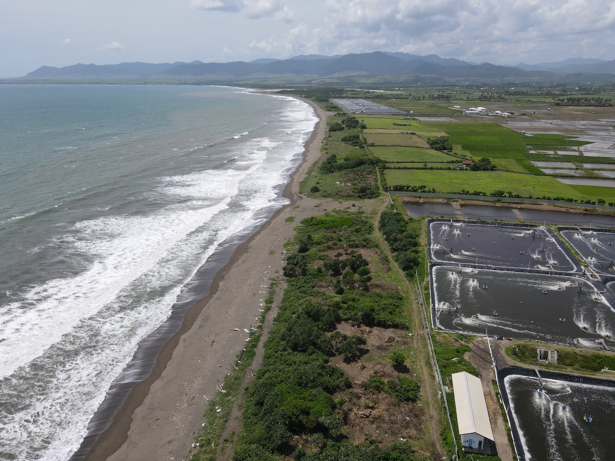
UAV-based landscape documentation for spatial analysis, terrain context and project assessment.
View image ↗HASH combines on-site investigation and mapping with geospatial analysis to translate complex field conditions into clearer project decisions.
From exploration and survey to geospatial analysis and mine planning, our team is ready to support your project with practical technical solutions.